
Quantum GIS 1.7: Edição de Topologia
Essa dúvida foi extraída da Lista de usuários do Quantum GIS-USA.
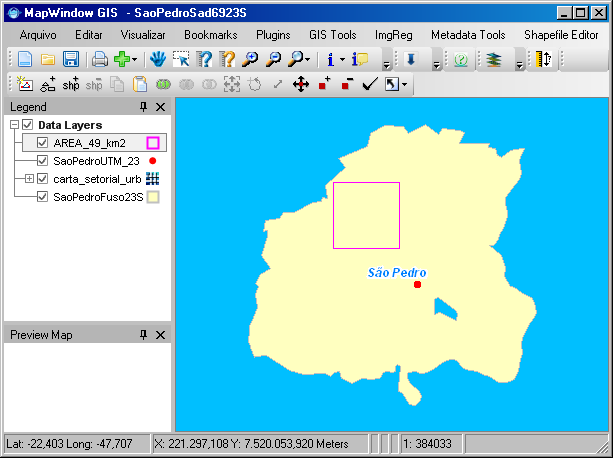
I'm trying to reshape polygons of a lancover map, in order to make them to be more
coincident with an overlaid raster image (orthophoto 1:5M).
If I just move the nodes to the correct position, I create a correct line but leave a hole behind: the other
polygon keeps its line where it was. See a pict here:

Is there any way I could just move the lines as boundaries? Laura Guillot
Laura precisa editar feições em relação ao raster sem causar erros topológicos. Ela pode utilizar a ferramenta Remodelar Feições (Reshape Features) durante a edição de feições no Quantum GIS. Abaixo temos um vídeo que indica a maneira mais adequada para executar essa tarefa:
I'm trying to reshape polygons of a lancover map, in order to make them to be more
coincident with an overlaid raster image (orthophoto 1:5M).
If I just move the nodes to the correct position, I create a correct line but leave a hole behind: the other
polygon keeps its line where it was. See a pict here:
Is there any way I could just move the lines as boundaries? Laura Guillot
Laura precisa editar feições em relação ao raster sem causar erros topológicos. Ela pode utilizar a ferramenta Remodelar Feições (Reshape Features) durante a edição de feições no Quantum GIS. Abaixo temos um vídeo que indica a maneira mais adequada para executar essa tarefa:
É importante lembrar que, após definir o traço, é preciso pressionar o botão direito do mouse para validar o desenho. Se você não conseguir assistir o vídeo, faça o download do arquivo no formato AVI em alta definição.


